Accurate topographic data is essential for the successful planning and execution of any construction project. We specialize in delivering precise topographic survey services, including:
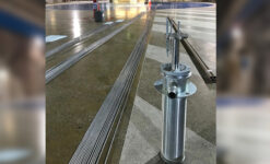
- Geodetic Control Points Setup: We establish high-precision horizontal and vertical geodetic control points, ensuring your project is accurately aligned and measured.
- Detailed Topographic Mapping: Using cutting-edge technology, we produce topographic maps at scales ranging from 1/200 to 1/10,000, tailored to the specific requirements of your project.
- Advanced Surveying Technology: Our surveys employ the latest technologies, including Lidar Scanning, Flycam, and RTK, to provide fast, accurate, and high-resolution topographic data.
- Topographic Profiling: We perform detailed terrain profiling, assessing slopes, contours, and elevations to assist in precise project design.
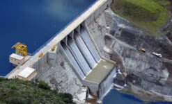
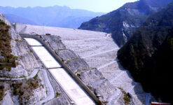
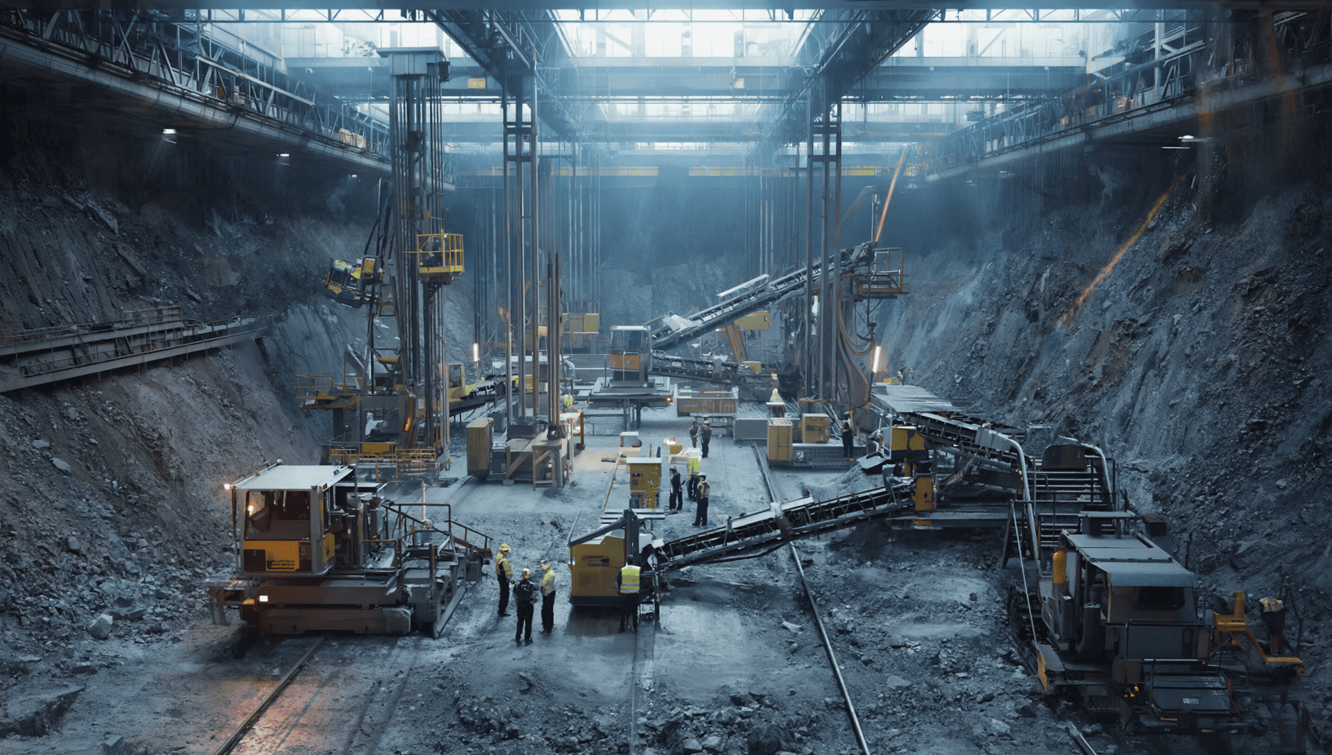
- Surveying for Various Applications: We offer topographic survey services for diverse projects, including construction, infrastructure development, hydropower, and mining, among others.