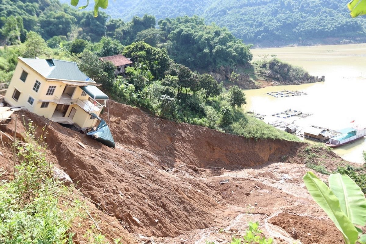
We offer the total assets safety solution integrating metasensing, monitoring, and visualization for Landslide-prone areas:
1. Data Collection
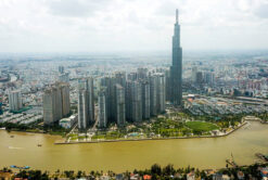
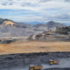
Remote Sensing: InSAR, Optical, Thermal Imagery, Multispectral and Hyperspectral Imagery.
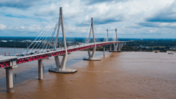
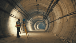
Surveying and 3D Modelling: UAVs, LIDAR, Laser Scanning, Radar, Total Stations, GNSS
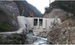
Surface and Sub-surface Sensors: Fiber Optics Sensors, Environmental and Geotechnical Instrumentation
2. Data Integration
Cross-platform seamless data integration across diverse sources from sensors to surveying to satellite data.
Dynamic data visualisation
Al & Machine Learning integration
3. Data Analysis & Understanding
Movement/Change Detection
Data Reporting
Data Visualization
GIS integration
Digital Twins
4. Risk Assessment and Alarm Management System
Aitogy’s Early Warning System
Integration with Government Risk Assessment Systems
Control, Safety and Flexibility
5. Continuous Monitoring
Predictive Intelligence
Advanced Visualization
Automatic Reporting
Customizable Dashboards
Key Parameters monitored by Geotechnical Sensors:
Water level, Water Pressure
Lateral movement, Inclination
Deformation, Settlement
Load/Force
Rainfall